Petroleum and Environmental Management Tool
The Petroleum and Environmental Management Tool (PEMT) was originally developed in 2009 to help guide oil and gas development in the Canadian Arctic. The online tool was decommissioned in 2019 due to low user traffic and in light of the moratorium on Arctic offshore oil and gas development. In order to preserve the data and retain the gathered information, the datasets, as well as the associated reports, have been moved to Open Data and are available in GIS format:
The tool mapped the environmental, social and economic sensitivities of a variety of Arctic features, ranging from whales, seals and migratory birds to traditional Indigenous hunting, fishing and plant gathering areas, across the Arctic.
It was intended to help government, oil and gas companies, Indigenous groups, resource managers and public stakeholders better understand the geographic distribution of areas which are sensitive.
The mapping was based on:
- compiled environmental research data
- social considerations, the importance of the land for communities in the area
- economic considerations such as the potential for oil and gas resources
The PEMT used a ranking system based on the value of specific areas for animal or human activity. More details on the ranking system and the mapped features can be found in the documents accompanying the data on Open Data.
PEMT Regions
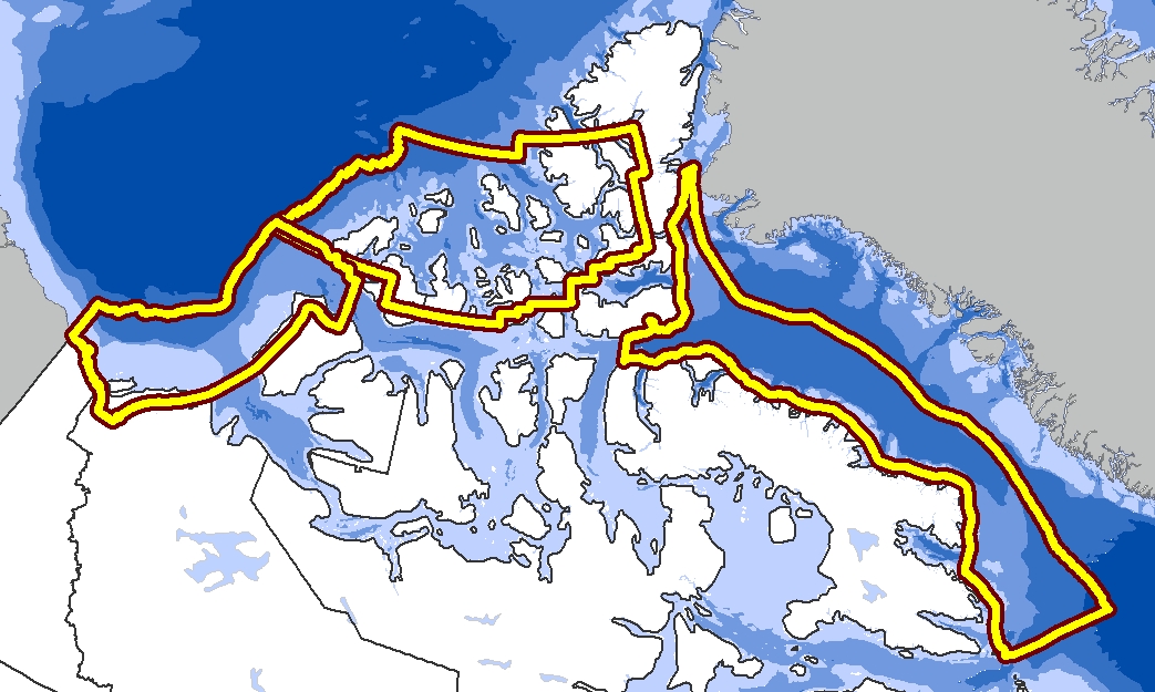
Text description of the image map
The image is a map depicting the Canadian arctic and the 3 geographic areas included in the PEMT data sets from west to east:
- Beaufort Sea and Mackenzie Delta
- High Arctic
- Eastern Arctic
Contact us
Petroleum and Mineral Resources Management Directorate
Natural Resources and Environment Branch
Crown-Indigenous Relations and Northern Affairs Canada
25 Eddy, Gatineau, Quebec
Mailing Address
10 Wellington
Gatineau QC K1A 0H4